

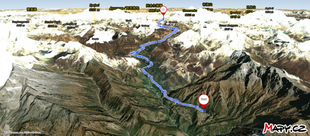
The Everest Base Camp trek map is a great visual presentation of the long and challenging Everest Base Camp trek that covers a distance of 106 kilometers. It’s a great way to get your head around the multi-day trek and see what mountains lie on either side of the trail you’ll be undertaking over several days.
In addition to the map above, you will find two other maps below – a 3D view and an aerial view of the trek itself.
The trail is an out and back approach from Lukla to Everest Base Camp returning to Lukla. In addition to the maps, you will find an altitude profile chart as well.
3D View Map
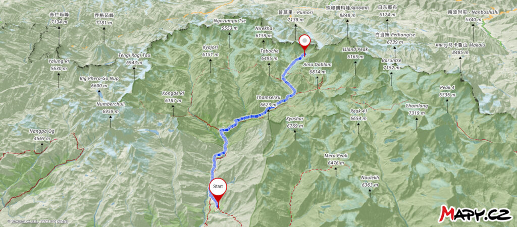
Aerial View Map
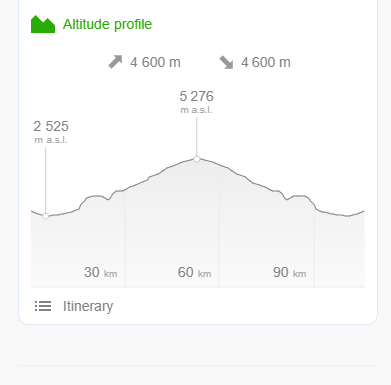
Altitude Profile
The altitude profile chart details the elevation start, max elevation reached as well as elevation gain during the Everest Base Camp trek. It also shows the elevation gained over the distance covered so you get an idea of where the big overall elevation climbs will be.
